mail_outline sales@mediastorehouse.com
Choose a picture from our 2020 Collection for your Wall Art and Photo Gifts
4 items
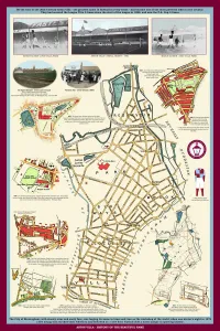
AugustAston Villa - History of the Beautiful Name
September Collection6 items
October Collection79 items
November Collection475 items