Home > British Town And City Plans > English & Welsh PORTFOLIO
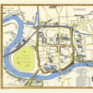
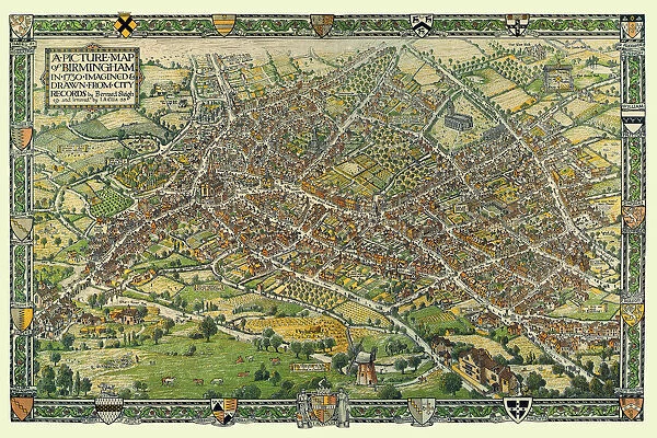
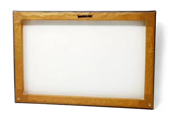
Canvas Print : A Conjectural Picture Map of Birmingham In 1730


![]()
Canvas Prints from MapSeeker
A Conjectural Picture Map of Birmingham In 1730
This is a striking colourful picture map of Birmingham in 1730, originally imagined & drawn from city records by Bernard Sleigh and lettered by I.A. Ellis, 1923. Originally printed by the Kynoch Press A.D. 1924, and published by Cornish Bros. Limited 39 New Street. This is a wonderfully detailed colourful pictorial map showing roads, the river Rea, principal buildings and the many dwellings, artisans workshops at a time when Birmingham rural aspect was about to transform into an industrial town rapidly growing outwards consuming the then far off villages that now form part of what is now the countries second city
Media ID 20347731
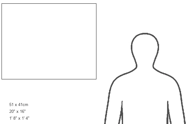
20"x16" (50x40cm) Canvas Print
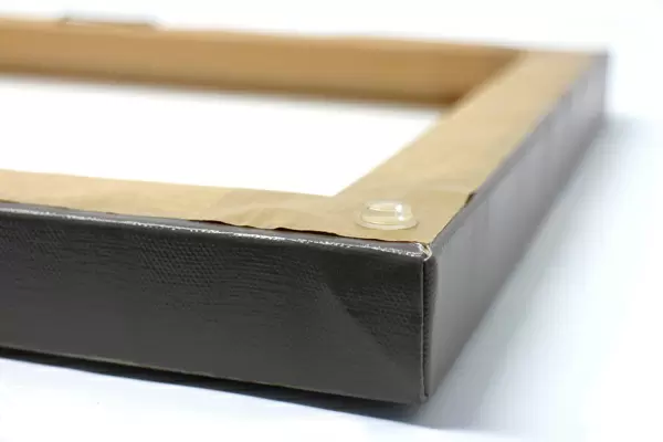
Ready to hang Premium Gloss Canvas Print. Our archival quality canvas prints are made from Polyester and Cotton mix and stretched over a 1.25" (32mm) kiln dried knot free wood stretcher bar. Packaged in a plastic bag and secured to a cardboard insert for transit.
Canvas Prints add colour, depth and texture to any space. Professionally Stretched Canvas over a hidden Wooden Box Frame and Ready to Hang
Estimated Product Size is 50.8cm x 40.6cm (20" x 16")
These are individually made so all sizes are approximate
Artwork printed orientated as per the preview above, with landscape (horizontal) orientation to match the source image.
FEATURES IN THESE COLLECTIONS
> British Town And City Plans
> English & Welsh PORTFOLIO
> Pictorial Maps and Pictorial History
MADE IN THE UK
Safe Shipping with 30 Day Money Back Guarantee
FREE PERSONALISATION*
We are proud to offer a range of customisation features including Personalised Captions, Color Filters and Picture Zoom Tools
SECURE PAYMENTS
We happily accept a wide range of payment options so you can pay for the things you need in the way that is most convenient for you
* Options may vary by product and licensing agreement. Zoomed Pictures can be adjusted in the Cart.