mail_outline sales@mediastorehouse.com
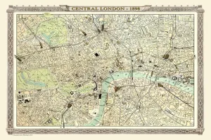
Old Map of Central London 1898 from the Royal Atlas by BartholomewA fine very detailed plan of Central London from 1898 remastered from an original contained within " The Royal Atlas of England and Wales" ; edited by J.G
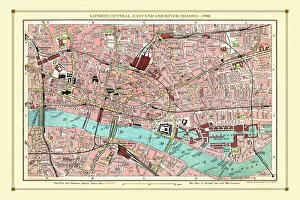
Old Street Map of London Central, East End and River Thames 1908Detailed colour Street Plan of London from 1908. The street map features London Central and the east End with the River Thames from Blackfriars Bridge to the London Docks