Home > Maps of the Americas > Maps of the United States of America
Old Map of Boston United States of America 1851 by John Tallis

![]()
Wall Art and Photo Gifts from MapSeeker
Old Map of Boston United States of America 1851 by John Tallis
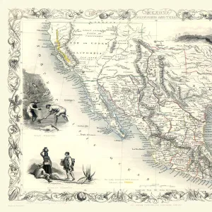
This a most attractive plan of Boston by John Tallis 1851 that includes South Boston Bay, part of South Boston with Charleston Town to the right of the plan. There is a stunning view across Boston Harbour with locals in the foreground. The other illustration is of Bunkers Hill Monument
Media ID 20347882
Historic Map John Tallis John Tallis Map Old Town Plan Tallis Map
MADE IN THE UK
Safe Shipping with 30 Day Money Back Guarantee
FREE PERSONALISATION*
We are proud to offer a range of customisation features including Personalised Captions, Color Filters and Picture Zoom Tools
SECURE PAYMENTS
We happily accept a wide range of payment options so you can pay for the things you need in the way that is most convenient for you
* Options may vary by product and licensing agreement. Zoomed Pictures can be adjusted in the Basket.