Home > Maps of the Artic and Antarctic > The Arctic
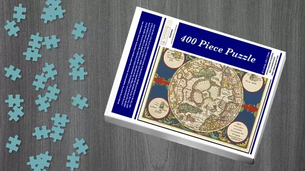
Jigsaw Puzzle : Old Map of The North Pole "Septentrionalium Terrarum descriptio"originally Published by Johannes Cloppenburg 1632


![]()
Jigsaw Puzzles from MapSeeker
Old Map of The North Pole "Septentrionalium Terrarum descriptio"originally Published by Johannes Cloppenburg 1632
A striking reproduction from Cloppenburgs reduced size edition of Mercators map of the North Polar regions, the first separate map of the North Polar Regions. Gerard Mercator was the first cartographer to create a polar projection of the earth. This map, the first separate map devoted to the Arctic regions, is drawn from an inset on Mercators world map of 1569. The map is extended to 60 degrees, to incorporate the recent explorations in search of the North West and North East Passages by Frobisher and Davis
Media ID 20347045
Jigsaw Puzzle (400 Pieces)
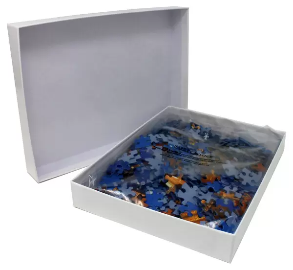
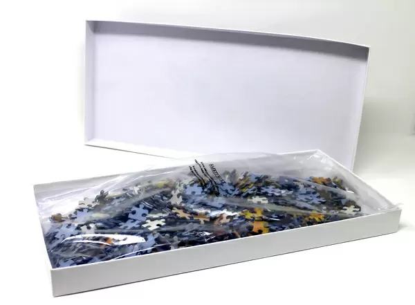
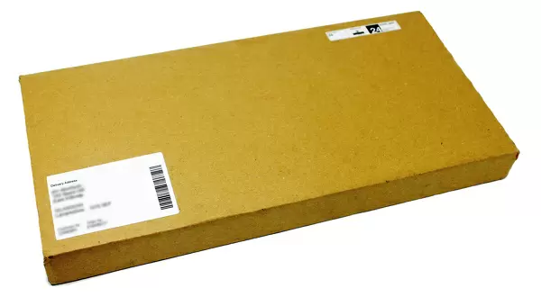
400 piece puzzles are custom made in the UK and hand-finished on 100% recycled 1.5 mm millboard. There is a level of repetition in jigsaw shapes with each matching piece away from its pair. The completed puzzle measures 31x47cm and is delivered packaged in an attractive presentation box specially designed to fit most letter box slots
Jigsaw Puzzles are an ideal gift for any occasion
Estimated Product Size is 47.2cm x 31.5cm (18.6" x 12.4")
These are individually made so all sizes are approximate
Artwork printed orientated as per the preview above, with landscape (horizontal) or portrait (vertical) orientation to match the source image.
MADE IN THE UK
Safe Shipping with 30 Day Money Back Guarantee
FREE PERSONALISATION*
We are proud to offer a range of customisation features including Personalised Captions, Color Filters and Picture Zoom Tools
SECURE PAYMENTS
We happily accept a wide range of payment options so you can pay for the things you need in the way that is most convenient for you
* Options may vary by product and licensing agreement. Zoomed Pictures can be adjusted in the Cart.