Home > Maps from the British Isles > Islands around Britain PORTFOLIO
Glass Place Mat : Old Map of The Isle of Wight 1836 by Thomas Moule


![]()
Home Decor from MapSeeker
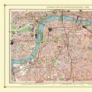
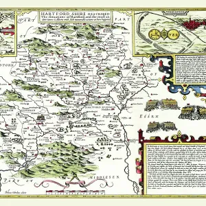
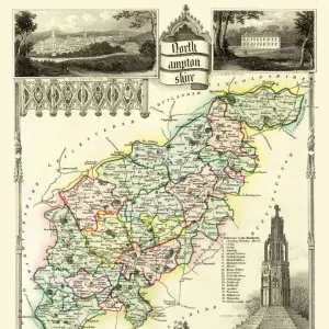
Old Map of The Isle of Wight 1836 by Thomas Moule
This is a fine decorative reproduction Map of The Isle of Wight from the First Edition series of Thomas Moule Maps, originally Published in 1836. The well-known series of County Maps which are known as Moules feature beautiful vignette views and were first published in separate sections for each county in 1830-32, they were then published in collected form in a two-volume work: The English Counties Delineated: or a Topographical Description of England: Illustrated by a Complete Series of County Maps by Thomas Moule: London: Published by George Virtue 1836
Media ID 20348098
© Mapseeker Publishing Ltd
Historic Map Moule Map Old Moule Map Thomas Moule Thomas Moule Map
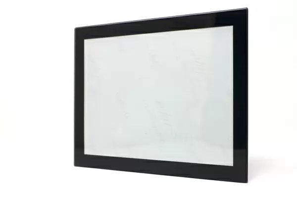
Glass Place Mat (Set of 4)
Set of 4 Glass Place Mats. Stylish and elegant polished safety glass, toughened and heat resistant (275x225mm, 7mm thick). Matching Coasters also available.
Set of 4 Glass Place Mats. Elegant polished safety glass and heat resistant. Matching Coasters may also be available
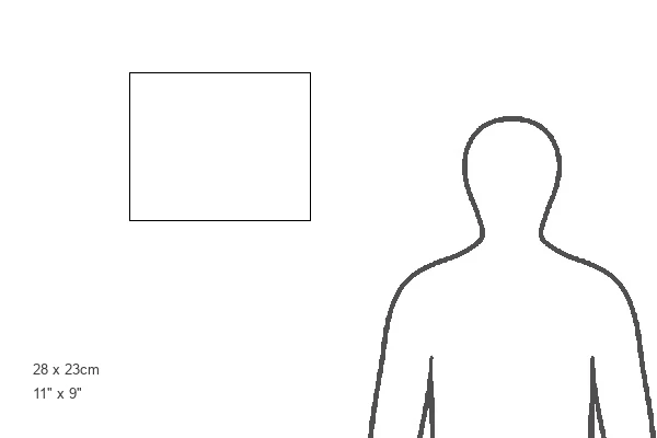
Estimated Image Size (if not cropped) is 25.4cm x 20.3cm (10" x 8")
Estimated Product Size is 27.5cm x 22.5cm (10.8" x 8.9")
These are individually made so all sizes are approximate
MADE IN THE UK
Safe Shipping with 30 Day Money Back Guarantee
FREE PERSONALISATION*
We are proud to offer a range of customisation features including Personalised Captions, Color Filters and Picture Zoom Tools
SECURE PAYMENTS
We happily accept a wide range of payment options so you can pay for the things you need in the way that is most convenient for you
* Options may vary by product and licensing agreement. Zoomed Pictures can be adjusted in the Cart.