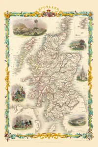
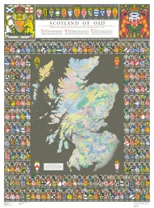
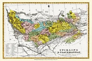
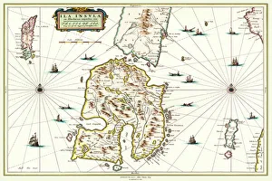
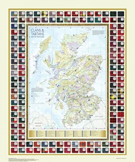
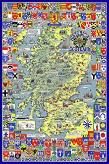
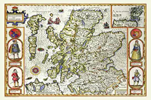
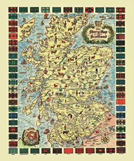
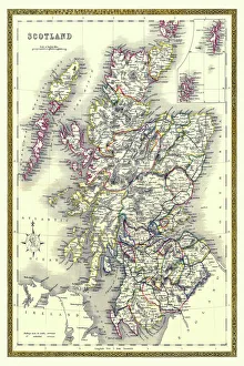
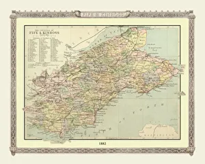
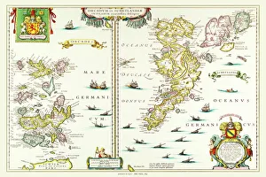
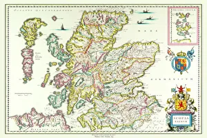
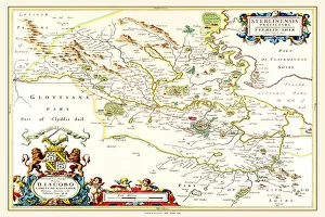
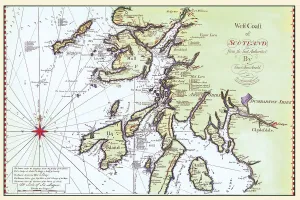
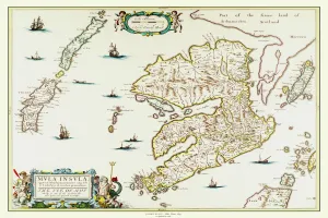
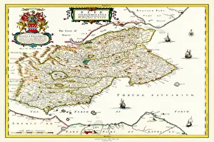
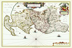
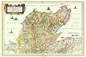
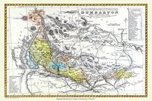
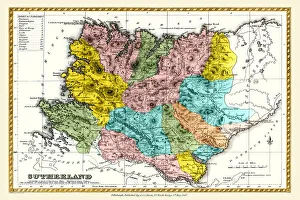
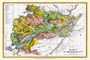
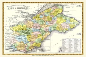
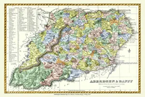
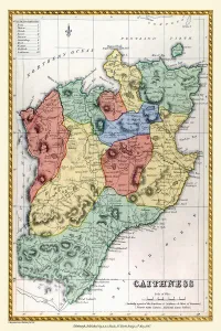
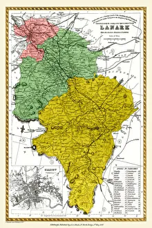
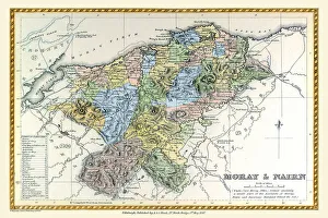
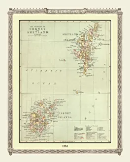
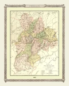
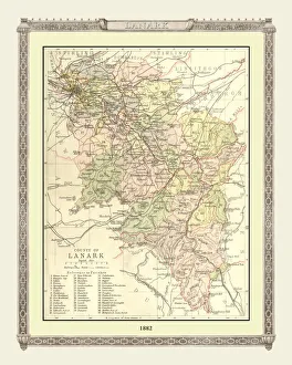
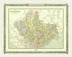
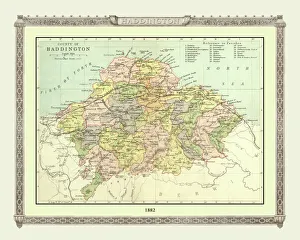
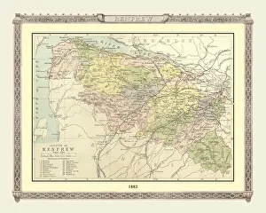
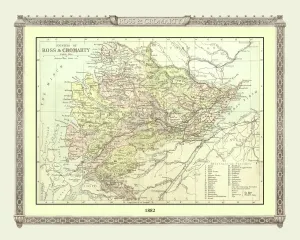
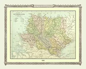
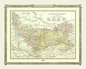
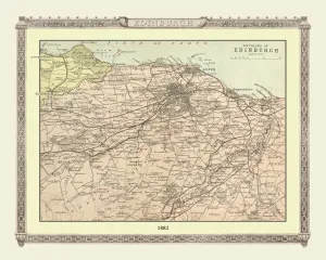
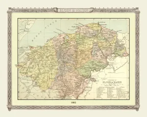
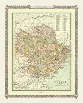
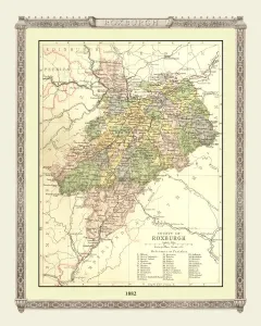
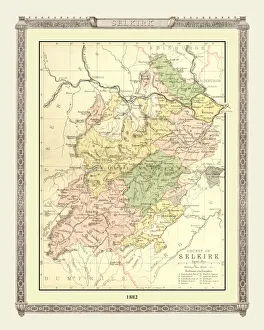
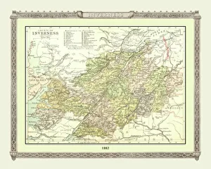
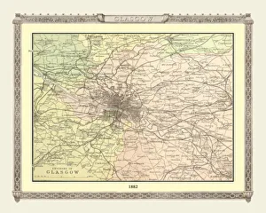
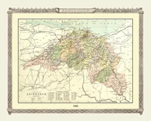
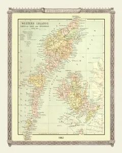
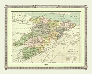
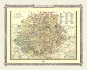
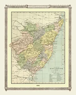
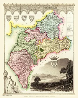
Scotland and Counties PORTFOLIO Gallery
Available as Framed Prints, Photos, Wall Art and Gift Items
Old Maps Of Scotland and Historic County Maps of Scotland
Choose from 79 pictures in our Scotland and Counties PORTFOLIO collection for your Wall Art or Photo Gift. Popular choices include Framed Prints, Canvas Prints, Posters and Jigsaw Puzzles. All professionally made for quick delivery.
Folded Maps
Books & Atlases
Maps from the British Isles
> British Isles Map PORTFOLIO
> England with Wales PORTFOLIO
> England and Counties PORTFOLIO
> Wales and Counties PORTFOLIO
> Scotland and Counties PORTFOLIO
> Ireland and Provinces PORTFOLIO
> Islands around Britain PORTFOLIO
British Town And City Plans
Old Views and Vistas
Maps of Africa and Oceana
Maps of the Americas
Maps of Europe
Maps of Asia and Middle East
Maps Showing the World
Old Railway and Canal Map Collection
Pictorial Maps and Pictorial History
British History Related and Military
All Images

Pictorial History Map of Scotland 1963
This is a wonderful pictorial map illustrating the history of Scotland drawn by Leslie Bullock and published in 1963 by Collins Bartholomew as a fold up map. Now re-digitized and re-published by Mapseeker in association with the Collins Bartholomew Archive, the map covers all of Scotland with historical locations and events illustrated pictorially in the form of charming cartoon vignettes. The map is surrounded by the armorial crests of Scotland

Old Map of the Counties of Ross and Cromarty from the Philips Handy Atlas of 1882
PHA026
County Map, County Map Of Scotland, Cromarty, Cromarty County Map, Cromarty Map, Cromartyshire, Cromartyshire County Map, Cromartyshire Map, Historic Cromarty Map, Historic Cromartyshire Map, Historic Map, Historic Ross Map, Historic Ross Shire Map, Historical Map Of Cromarty, Historical Map Of Cromartyshire, Historical Map Of Ross, Historical Map Of Ross Shire, Map Of Cromarty, Map Of Cromartyshire, Map Of Ross, Map Of Ross Shire, Old County Map, Old County Map Of Cromarty, Old County Map Of Cromartyshire, Old County Map Of Ross, Old County Map Of Ross Shire, Old Scottish County Map, Ross, Ross And Cromarty, Ross County Map, Ross Map, Ross Shire, Ross Shire County Map, Ross Shire Map, Scottish County Map

Map of the Clans and Tartans of Scotland
This map of Scotland indicates the general sphere of influence held by the clans and considerable families at the beginning of the 17th century. Some clans and families held small areas of land, and if their names are not on this map, they were not necessarily landless. The areas representing the ancient Principalities of Scotland are indicated on the map. Scotland has a rich and enduring culture steeped in history. One of the most distinctive features, of which are probably that of clanship and the predominantly Highland clans. Highland dress and the tartan is a powerful symbol of the wearerAEs pride in a Scottish ancestry and in Scotland itself. There are few, if any, other forms of national dress which can claim to make such a clear and unequivocal statement, and to be so instantly and widely recognisable