Home > Maps of Europe > Maps of Austria PORTFOLIO
Jigsaw Puzzle : George Bradshaws Plan of Vienna, Austria 1896


![]()
Jigsaw Puzzles from MapSeeker
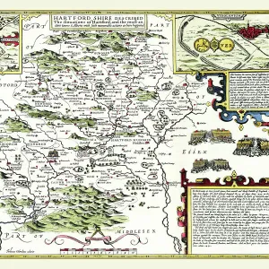
George Bradshaws Plan of Vienna, Austria 1896
This is a very detailed Plan of Vienna, which features streets, canals, principal buildings, railways and railway stations. The plan has been meticulously recreated in colour and republished without and fold creases by Mapseeker, from a rare antique original black and white fold up tourist city map. The 29 that were originally published as fold up maps featuring the principal cities of Europe are now rare, yet popular at their time among those who could then explore Europe by railway for the first time
Media ID 20348144
© Mapseeker Publishing Ltd
Bradshaw City Map Bradshaw City Plan Bradshaw Map Europe City Europe City Plan European City Map European City Plan Historic Map Old Town Plan
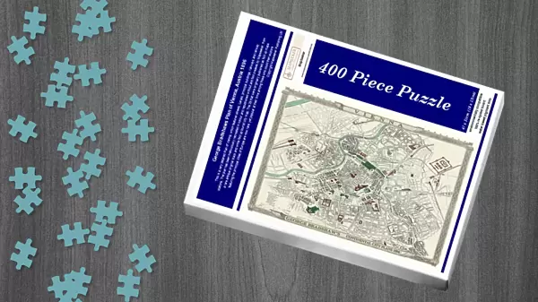
Jigsaw Puzzle (400 Pieces)
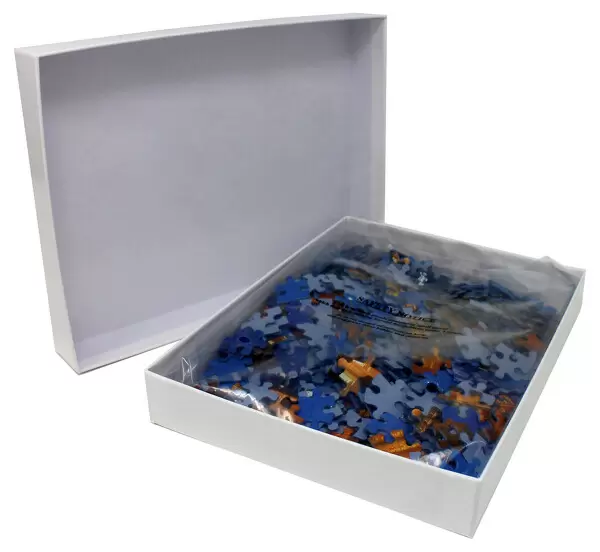
400 piece puzzles are custom made in the UK and hand-finished on 100% recycled 1.5 mm millboard. There is a level of repetition in jigsaw shapes with each matching piece away from its pair. The completed puzzle measures 31x47cm and is delivered packaged in an attractive presentation box specially designed to fit most letter box slots
Jigsaw Puzzles are an ideal gift for any occasion
Estimated Product Size is 47.2cm x 31.5cm (18.6" x 12.4")
These are individually made so all sizes are approximate
Artwork printed orientated as per the preview above, with landscape (horizontal) or portrait (vertical) orientation to match the source image.
MADE IN THE UK
Safe Shipping with 30 Day Money Back Guarantee
FREE PERSONALISATION*
We are proud to offer a range of customisation features including Personalised Captions, Color Filters and Picture Zoom Tools
SECURE PAYMENTS
We happily accept a wide range of payment options so you can pay for the things you need in the way that is most convenient for you
* Options may vary by product and licensing agreement. Zoomed Pictures can be adjusted in the Cart.