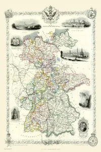
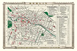
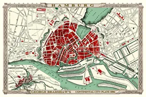
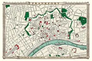
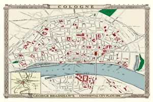
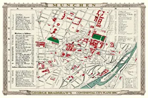
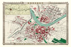
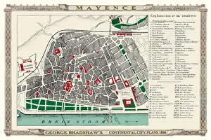
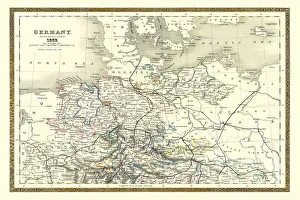
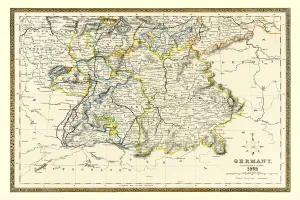
Maps of Germany PORTFOLIO Gallery
Available as Framed Prints, Photos, Wall Art and Gift Items
Old Maps Of Germany Including Towns And Cities
Choose from 10 pictures in our Maps of Germany PORTFOLIO collection for your Wall Art or Photo Gift. Popular choices include Framed Prints, Canvas Prints, Posters and Jigsaw Puzzles. All professionally made for quick delivery.
Folded Maps
Books & Atlases
Maps from the British Isles
British Town And City Plans
Old Views and Vistas
Maps of Africa and Oceana
Maps of the Americas
Maps of Europe
> Maps of France PORTFOLIO
> Maps of Germany PORTFOLIO
> Maps of Italy PORTFOLIO
> Old Maps of Europe and Small Islands of
Maps of Asia and Middle East
Maps Showing the World
Old Railway and Canal Map Collection
Pictorial Maps and Pictorial History
British History Related and Military
All Images

George Bradshaw's Plan of Munchen or Munich, Germany 1896
This is a detailed Plan of Munchen, or Munich, showing the streets, canals, principal buildings, railways and railway stations. The plan has a grid overlay so as to easily locate no fewer than 65 principal buildings and places of interest that are numerically recorded on the left and right of the plan. It has been meticulously recreated in colour and republished without and fold creases by Mapseeker, from a rare antique original black and white fold up tourist city map. The 29 that were originally published as fold up maps featuring the principal cities of Europe are now rare, yet popular at their time among those who could then explore Europe by railway for the first time
© Mapseeker Publishing Ltd