Home > Maps of Europe > Old Maps of Europe and Small Islands of

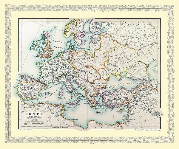
Map of Europe showing how it appeared in the time of Charles the Great AD 768 - AD 814

Map of Europe showing how it appeared in the time of Charles the Great AD 768 - AD 814


We accept all major credit cards

MapSeeker Photo Prints and Wall Art

Map of Europe showing how it appeared in the time of Charles the Great AD 768 - AD 814

EHIST004

Media ID 20348266

Europe Europe Map Map Of Europe


MADE IN THE UK
Safe Shipping with 30 Day Money Back Guarantee

FREE PERSONALISATION*
We are proud to offer a range of customisation features including Personalised Captions, Color Filters and Picture Zoom Tools

SECURE PAYMENTS
We happily accept a wide range of payment options so you can pay for the things you need in the way that is most convenient for you

* Options may vary by product and licensing agreement. Zoomed Pictures can be adjusted in the Basket.


redeem
Beautiful Photo Prints and Gifts
image
Professionally Printed
inventory
Photo Prints are in stock
thumb_up
Professional quality finish
diamond
Made with high-grade materials
inventory_2
Carefully packed to aid safe arrival


Related Images


Map of Europe showing how it appeared at the time of the Restoration of the Empire in the Wwest by Otto The Great AD 962
Old map of Liverpool 1650 by Thomas Kaye
Old Map of Liverpool 1821 by J. Gore
Old Map of Liverpool 1725
Old Map of the Grand Junction Railway 1837
Spain & Portugal 1851
Old Map of Mexico, California & Texas 1851by John Tallis
Old Street Map of London South and River Thames 1908
Old Map Titled "Travelling on the Liverpool to Manchester Railway 1830"
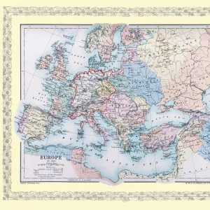
Map of Europe showing how it appeared in the year AD 1360
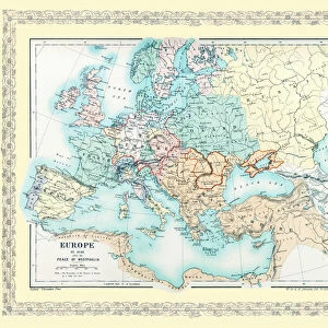
Map of Europe showing how it appeared after the Peace of Westphalia 1648AD
Peaky Blinders Captured on Camera

+

Shipping

+

Choices

+

Guarantee