Home > Maps Showing the World > British Empire World Maps PORTFOLIO
Canvas Print : Map of The British Empire by Fullarton & Co 1850


![]()
Canvas Prints from MapSeeker
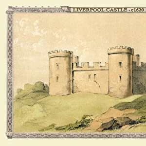
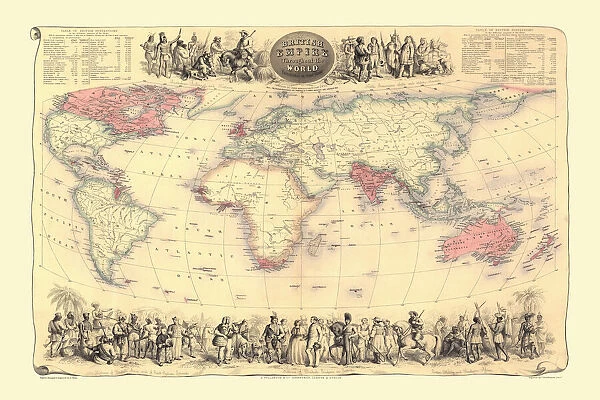
Map of The British Empire by Fullarton & Co 1850
Fine reproduction of the attractive World Map showing the British Empire. Mapmaker John Bartholomew and publishers Fullarton were then the first to use red or pink to indicate British possessions around the world, a feature which became common to most maps for the next 100 years. In this map, which dates back to the 1850AEs states in notes at the top of the map oThe British Possessions are engraved in a bolder character and coloured Redo. The map is also framed by idealized images of friendly encounters between British colonists and indigenous inhabitants in four different parts of the Globe: Australia, North America, British Asia, East Inidican islands and the Cape Colony in Southern Africa. It is highly detailed and decorative and it appeared in FullartonAEs Royal Illustrated Atlas which was first published in 1864 after being issued in 27 parts from 1854-62. The tables shown include the size and population of the British possessions at the time of publication
Media ID 20347041
Map Of The World Old Map Of The World The World World Map
20"x16" (50x40cm) Canvas Print
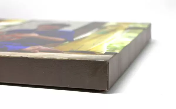
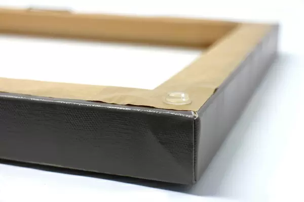
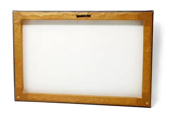
Ready to hang Premium Gloss Canvas Print. Our archival quality canvas prints are made from Polyester and Cotton mix and stretched over a 1.25" (32mm) kiln dried knot free wood stretcher bar. Packaged in a plastic bag and secured to a cardboard insert for transit.
Canvas Prints add colour, depth and texture to any space. Professionally Stretched Canvas over a hidden Wooden Box Frame and Ready to Hang
Estimated Product Size is 50.8cm x 40.6cm (20" x 16")
These are individually made so all sizes are approximate
Artwork printed orientated as per the preview above, with landscape (horizontal) orientation to match the source image.
MADE IN THE UK
Safe Shipping with 30 Day Money Back Guarantee
FREE PERSONALISATION*
We are proud to offer a range of customisation features including Personalised Captions, Color Filters and Picture Zoom Tools
SECURE PAYMENTS
We happily accept a wide range of payment options so you can pay for the things you need in the way that is most convenient for you
* Options may vary by product and licensing agreement. Zoomed Pictures can be adjusted in the Cart.