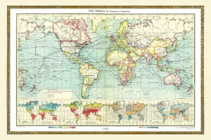
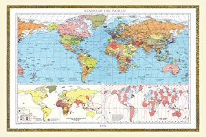
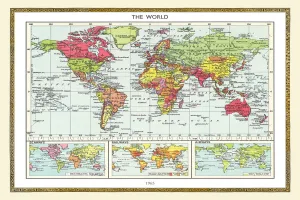
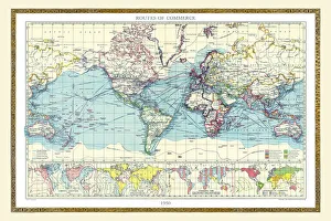
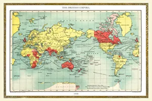
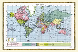
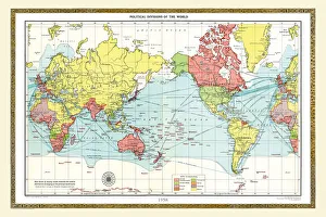
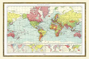
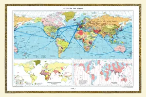
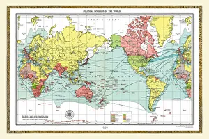
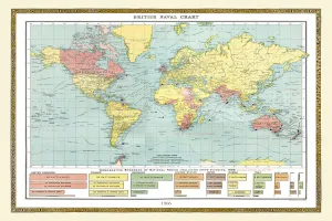
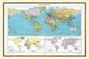
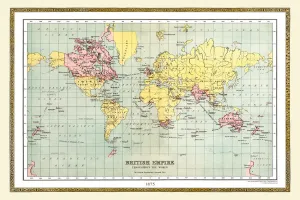
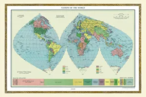
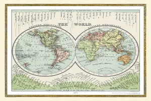
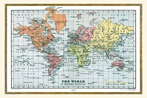
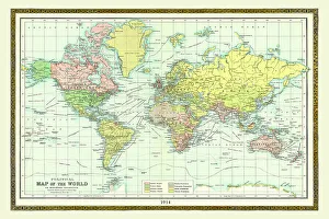
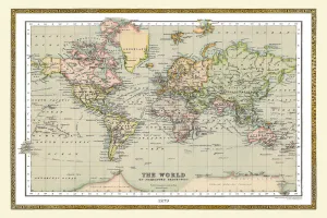
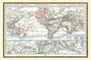
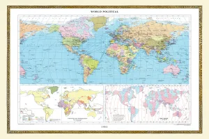
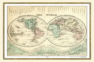
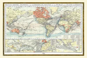
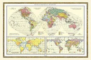
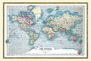
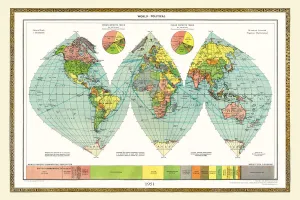
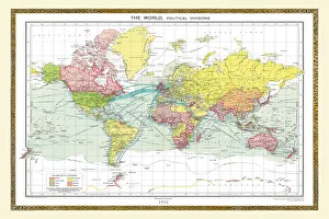
Maps of The World by Year PORTFOLIO Gallery
Available as Framed Prints, Photos, Wall Art and Gift Items
Old Maps Of The World By Year of Publication
Choose from 31 pictures in our Maps of The World by Year PORTFOLIO collection for your Wall Art or Photo Gift. Popular choices include Framed Prints, Canvas Prints, Posters and Jigsaw Puzzles. All professionally made for quick delivery.
Folded Maps
Books & Atlases
Maps from the British Isles
British Town And City Plans
Old Views and Vistas
Maps of Africa and Oceana
Maps of the Americas
Maps of Europe
Maps of Asia and Middle East
Maps Showing the World
> Maps of The World by Year PORTFOLIO
Old Railway and Canal Map Collection
Pictorial Maps and Pictorial History
British History Related and Military
All Images

Old Map of The World 1858
THE WORLD THAT WAS 1858 - Indian Mutiny (1857-1858) crushed; British East India Company dissolved. Taiping Rebellion in China (1851-1864). Second Opium War (1856-1860): Treaty of Tientsin (Tianjin) opens Chinese ports to Europeans. Trade treaties between Japan and the USA and Britain. Attempted assassination of Emperor Napoleon III in France. Lake Tanganyika reached by Speke and Burton. First Atlantic cable. DarwinAEs aeOrigin of SpeciesAE
© Collins Bartholomew - Mapseeker Publishing Ltd

Old Map of The World 1864
THE WORLD THAT WAS 1864 - American Civil War (1861-1865). Prussia defeats Denmark. Russia suppresses Polish revolt. Taiping Rebellion in China (1851-1864), the second most destructive war in history. Paraguayan War (Triple Alliance), to 1870. Maori revolt in New Zealand: Tauranga campaign. First Geneva Convention. Red Cross founded
© Collins Bartholomew - Mapseeker Publishing Ltd