Home > Old Railway and Canal Map Collection > Early Coaching Routes and Canal Maps
Cushion : John Hancoxs Map of the Birmingham Canal Navigations 1864


![]()
Home Decor from MapSeeker
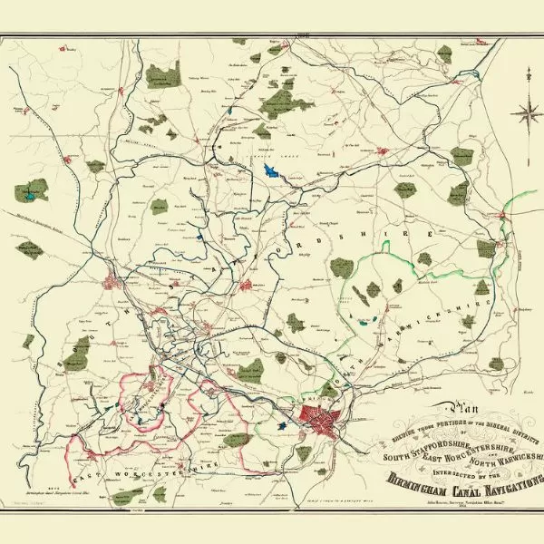
John Hancoxs Map of the Birmingham Canal Navigations 1864
This detailed map of the Birmingham Canal Navigations also shows the recently constructed Railways across the region, making it a valuable resource for Canal, Railway and Local History enthusiasts. It has been completely remastered in colour by mapseeker working from a rare antique original first published in 1864
Media ID 20354630
© Mapseeker Publishing Ltd
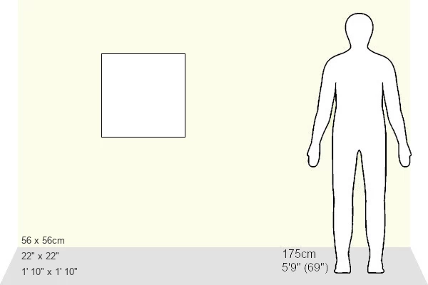
Large 22" Cushion (56x56cm)
22"x22" (56x56cm) Fibre filled cushion with a plush soft feel. Your choice of image fills the front, with a stone coloured faux suede back. Flat sewn concealed white zip.
Accessorise your space with decorative, soft cushions
Estimated Product Size is 55.9cm x 55.9cm (22" x 22")
These are individually made so all sizes are approximate
Artwork printed orientated as per the preview above, with landscape (horizontal) or portrait (vertical) orientation to match the source image.
MADE IN THE UK
Safe Shipping with 30 Day Money Back Guarantee
FREE PERSONALISATION*
We are proud to offer a range of customisation features including Personalised Captions, Color Filters and Picture Zoom Tools
SECURE PAYMENTS
We happily accept a wide range of payment options so you can pay for the things you need in the way that is most convenient for you
* Options may vary by product and licensing agreement. Zoomed Pictures can be adjusted in the Cart.