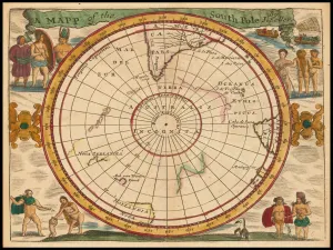
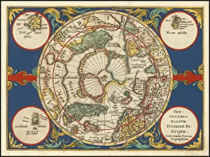
Maps of the Artic and Antarctic Gallery
Available as Framed Prints, Photos, Wall Art and Gift Items
Maps of the Artic and Antarctic Polar Regions
Choose from 2 pictures in our Maps of the Artic and Antarctic collection for your Wall Art or Photo Gift. Popular choices include Framed Prints, Canvas Prints, Posters and Jigsaw Puzzles. All professionally made for quick delivery.
Maps of the Artic and Antarctic
Categories
Folded Maps
Books & Atlases
Maps from the British Isles
British Town And City Plans
Old Views and Vistas
Maps of Africa and Oceana
Maps of the Americas
Maps of Europe
Maps of Asia and Middle East
Maps Showing the World
Old Railway and Canal Map Collection
Pictorial Maps and Pictorial History
British History Related and Military
All Images

Old Map of The North Pole "Septentrionalium Terrarum descriptio" originally Published by Johannes Cloppenburg 1632
A striking reproduction from Cloppenburg's reduced size edition of Mercator's map of the North Polar regions, the first separate map of the North Polar Regions. Gerard Mercator was the first cartographer to create a polar projection of the earth. This map, the first separate map devoted to the Arctic regions, is drawn from an inset on Mercator's world map of 1569. The map is extended to 60 degrees, to incorporate the recent explorations in search of the North West and North East Passages by Frobisher and Davis