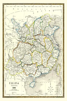
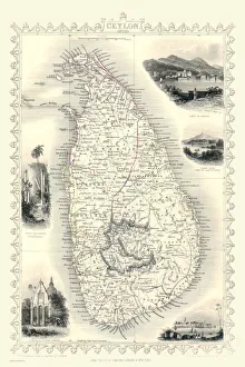
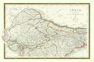
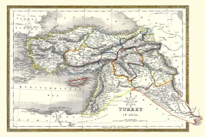
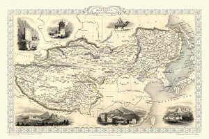
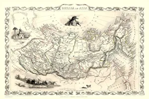
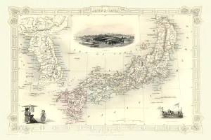
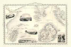
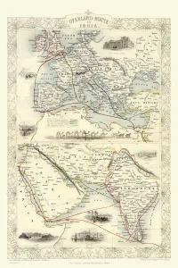
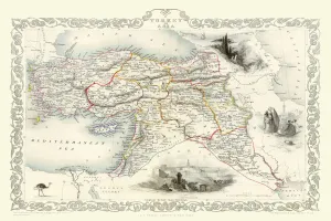
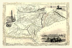
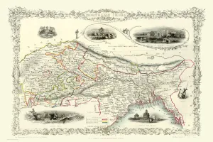
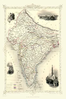
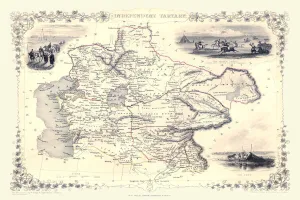
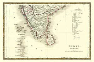
Maps of Countries in Asia PORTFOLIO Collection
Old Maps of Asian Countries including China, India, Japan, Russia in Asia and Turkey in Asia
Choose a picture from our Maps of Countries in Asia PORTFOLIO Collection for your Wall Art and Photo Gifts
15 items