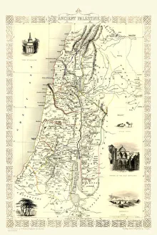
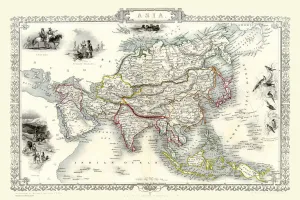
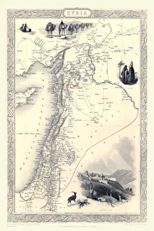
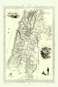
Maps of the Middle East and East Indies PORTFOLIO Collection
Old Maps of the Asian Continent, Middle East Countries And East Indies
Choose a picture from our Maps of the Middle East and East Indies PORTFOLIO Collection for your Wall Art and Photo Gifts
9 items