Home > Maps of Europe > Maps of France PORTFOLIO

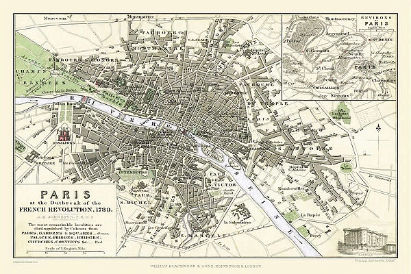
Paris at the Outbreak of the French Revolution 1789

Paris at the Outbreak of the French Revolution 1789


Poster Prints
Photo Prints
Jigsaw Puzzles
Cards
Background Images
Mounted Prints
Fine Art Prints
Canvas Prints
Home Decor
Metal Prints


We accept all major credit cards

Wall Art and Photo Gifts from MapSeeker

Paris at the Outbreak of the French Revolution 1789

This is a detailed Plan of Paris showing the Parks, Gardens and Squares, Palaces, Bridges over the River Seine, Churches, Convents, Prisons and all the historic Buildings of Importance at the time of the outbreak of the French Revolution 1789. It has been meticulously recreated from the rare antique original by Mapseeker

Media ID 20347078

© Mapseeker Publishing Ltd

Europe City Europe City Plan European City Map European City Plan Historic Map Old Town Plan


FEATURES IN THESE COLLECTIONS

> British History Related and Military > 16th to 19th Century PORTFOLIO

> Maps of Europe > Maps of France PORTFOLIO


MADE IN THE UK
Safe Shipping with 30 Day Money Back Guarantee

FREE PERSONALISATION*
We are proud to offer a range of customisation features including Personalised Captions, Color Filters and Picture Zoom Tools

SECURE PAYMENTS
We happily accept a wide range of payment options so you can pay for the things you need in the way that is most convenient for you

* Options may vary by product and licensing agreement. Zoomed Pictures can be adjusted in the Basket.


redeem
Beautiful Photo Prints and Gifts
image
Professionally Printed
inventory
Photo Prints are in stock
thumb_up
Professional quality finish
diamond
Made with high-grade materials
inventory_2
Carefully packed to aid safe arrival


Related Images


Special War Map of Lower Egypt
Peaky Blinders Captured on Camera
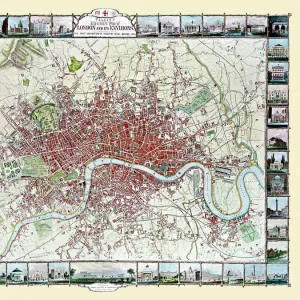
Old Map of London 1851 by John Tallis
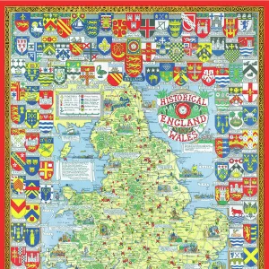
Pictorial History Map of England and Wales 1963
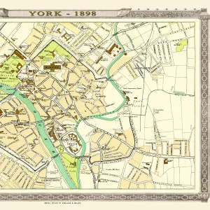
Old Map of York 1898 from the Royal Atlas by Bartholomew
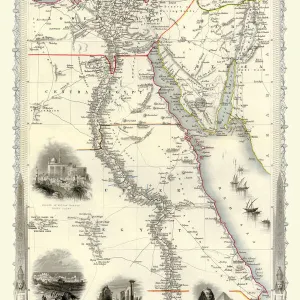
Old Map of Egypt and Arabia Petraea 1851 by John Tallis
Old Map of Leeds 1851 by John Tallis
Syria 1851
Syria 1851
The Battle of The Somme 1916, The Attack of the III Corps on 1st July

+

Shipping

+

Choices

+

Guaranteed