Home > Maps Showing the World > Maps of The World by Year PORTFOLIO
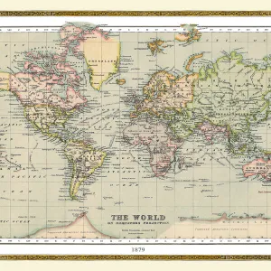
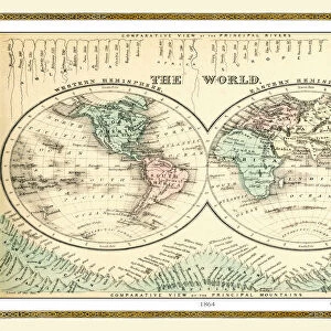
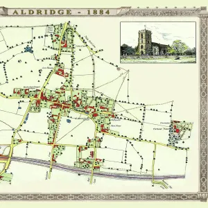
Old Map of the World 1875

![]()
Wall Art and Photo Gifts from MapSeeker
Old Map of the World 1875
THE WORLD THAT WAS 1875 - Britain under Disraeli buys the Suez Canal to protect the sea route to India. USA expands settlement into Oregon. Egyptian invasion of Ethiopia. Treaty between Japan and Russia settles territorial claims. StanleyAEs African expedition continues, suffering enormous hardships
Media ID 20347209
© Collins Bartholomew - Mapseeker Publishing Ltd
Map Of The World Old Map Of The World The World World Map
MADE IN THE UK
Safe Shipping with 30 Day Money Back Guarantee
FREE PERSONALISATION*
We are proud to offer a range of customisation features including Personalised Captions, Color Filters and Picture Zoom Tools
SECURE PAYMENTS
We happily accept a wide range of payment options so you can pay for the things you need in the way that is most convenient for you
* Options may vary by product and licensing agreement. Zoomed Pictures can be adjusted in the Basket.