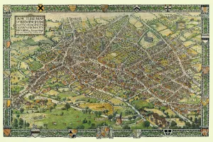
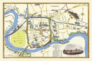
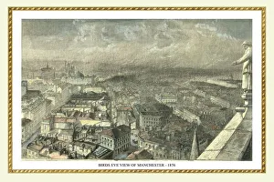
Pictorial Maps and Pictorial History Maps Collection
Pictorial History Maps, Bird's Eye Views Maps and Cityscape Maps
Choose a picture from our Pictorial Maps and Pictorial History Maps Collection for your Wall Art and Photo Gifts
5 items
Choose a picture from our Pictorial Maps and Pictorial History Maps Collection for your Wall Art and Photo Gifts
5 items