Home > British Town And City Plans > English & Welsh PORTFOLIO
Glass Place Mat : Old Street Map of London South and River Thames 1908


![]()
Home Decor from MapSeeker
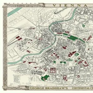
Old Street Map of London South and River Thames 1908
Detailed colour Street Plan of London from 1908. The street map features London South wiith the River Thames from Vauxhall Bridge to the London Docks and features Westminster, the Houses of Parliament. The area South of the Thames includes the London Boroughs of Lambeth, Walworth, Newington and Bermongsey
Media ID 20347791
© Mapseeker Publishing Ltd, Collins Bartholomew Ltd
London Street Plan Map Of Central London Old London Street Map Old Map Of London Central Street Plan
Glass Place Mat (Set of 4)
Set of 4 Glass Place Mats. Stylish and elegant polished safety glass, toughened and heat resistant (275x225mm, 7mm thick). Matching Coasters also available.
Set of 4 Glass Place Mats. Elegant polished safety glass and heat resistant. Matching Coasters may also be available
Estimated Image Size (if not cropped) is 25.4cm x 16.9cm (10" x 6.7")
Estimated Product Size is 27.5cm x 22.5cm (10.8" x 8.9")
These are individually made so all sizes are approximate
MADE IN THE UK
Safe Shipping with 30 Day Money Back Guarantee
FREE PERSONALISATION*
We are proud to offer a range of customisation features including Personalised Captions, Color Filters and Picture Zoom Tools
SECURE PAYMENTS
We happily accept a wide range of payment options so you can pay for the things you need in the way that is most convenient for you
* Options may vary by product and licensing agreement. Zoomed Pictures can be adjusted in the Cart.