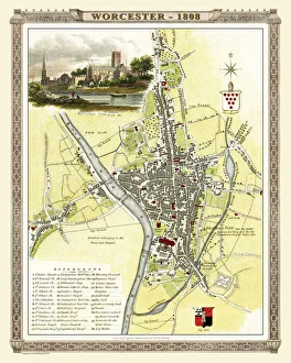
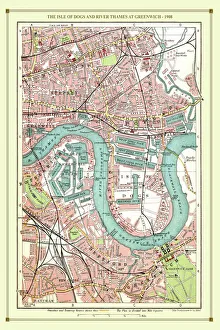
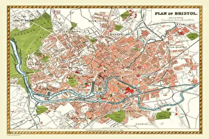
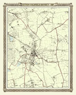
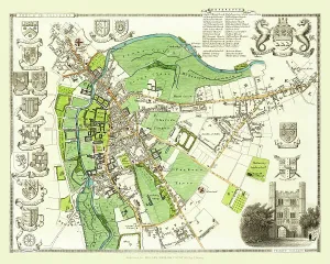
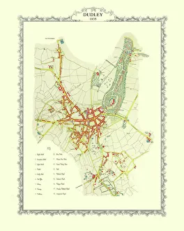
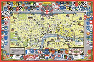
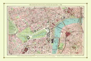
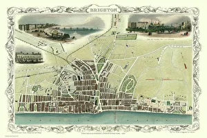
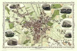
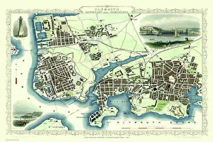
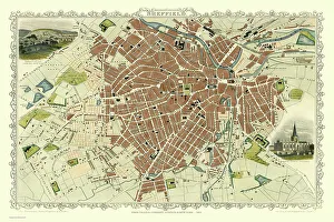
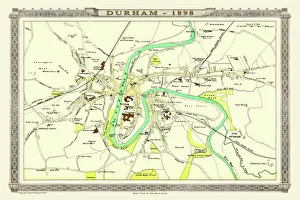
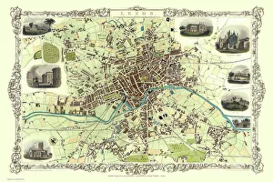
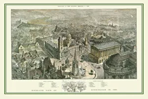
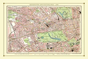
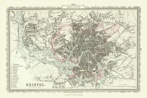
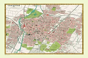
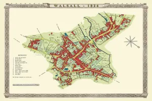
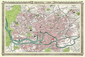
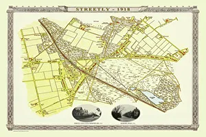
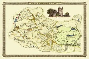
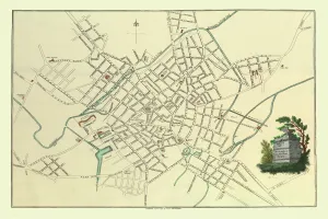
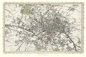
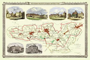
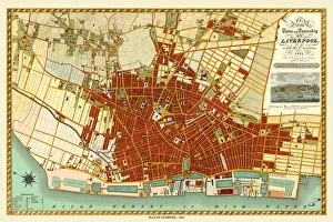
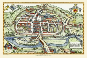
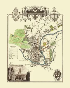
English & Welsh PORTFOLIO Collection
Old Town and City Plans of England and Wales
Choose a picture from our English & Welsh PORTFOLIO Collection for your Wall Art and Photo Gifts
183 items
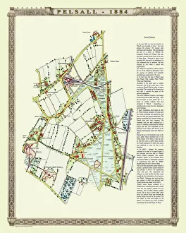
Choose a picture from our English & Welsh PORTFOLIO Collection for your Wall Art and Photo Gifts
183 items