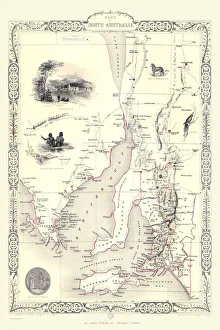
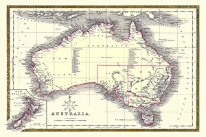
Old Maps of Australia PORTFOLIO Gallery
Available as Framed Prints, Photos, Wall Art and Gift Items
Early Maps of the Australian Continent, Australian Territories and Cities
Choose from 6 pictures in our Old Maps of Australia PORTFOLIO collection for your Wall Art or Photo Gift. Popular choices include Framed Prints, Canvas Prints, Posters and Jigsaw Puzzles. All professionally made for quick delivery.
Folded Maps
Books & Atlases
Maps from the British Isles
British Town And City Plans
Old Views and Vistas
Maps of Africa and Oceana
> Old Maps of Australia PORTFOLIO
Maps of the Americas
Maps of Europe
Maps of Asia and Middle East
Maps Showing the World
Old Railway and Canal Map Collection
Pictorial Maps and Pictorial History
British History Related and Military
All Images

Old Map of Australia 1852 by Henry George Collins
This is a finely detailed map of Australia remastered from a rare Atlas of the World published in 1852 by Henry George Collins. Although these Henry Collins produced maps of the highest quality in his time unfortunately not the same could be said in terms of his business success. His maps were later obtained by the famous Stanford Map Company and used in their publications
© Mapseeker Publishing Ltd