mail_outline sales@mediastorehouse.com
Choose a picture from our October Collection for your Wall Art and Photo Gifts
7 items
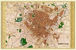
1 Oct 2020Old Map of Birmingham 1883
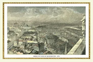
3 Oct 2020Birds Eye View of Manchester from the New Town Hall Tower 1876
5 Oct 2020 Collection6 items
6 Oct 2020 Collection4 items
7 Oct 2020 Collection9 items
14 Oct 2020 Collection11 items
27 Oct 2020 Collection45 items