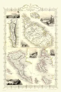
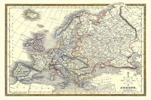
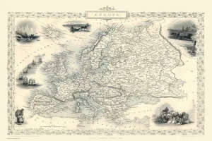
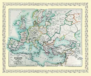
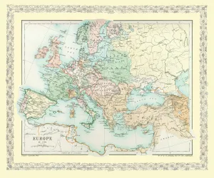
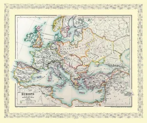
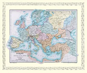
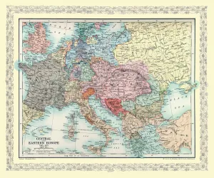
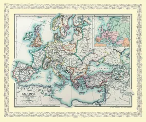
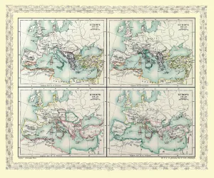
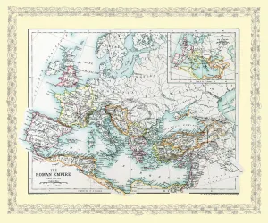
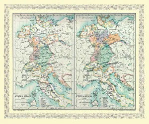
Old Maps of Europe and Small Islands of Europe PORTFOLIO Framed Print Collection
Old Maps Showing the Continent of Europe and Maps of the Smaller European Islands
Choose a picture from our Old Maps of Europe and Small Islands of Europe PORTFOLIO Framed Print Collection for your Wall Art and Photo Gifts
16 Framed Prints