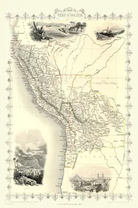
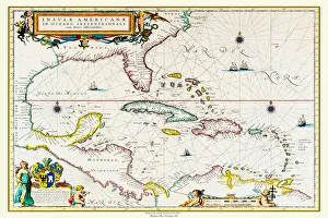
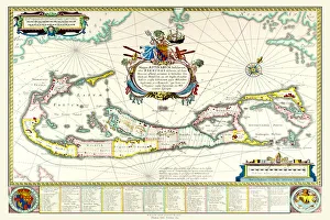
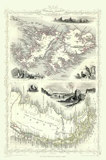
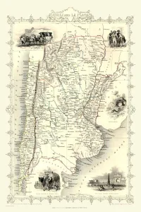
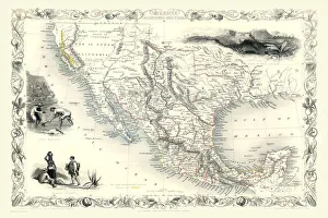
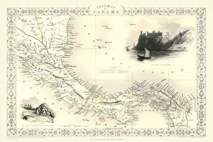
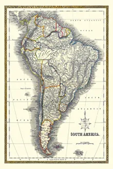
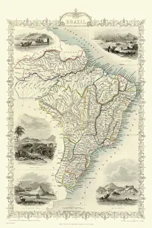
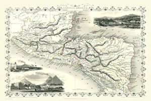
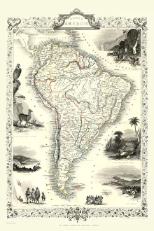
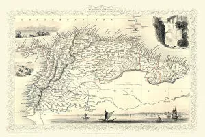
Maps of Central and South America PORTFOLIO Collection
Old Maps of Central America, South America, Countries of South America, Mexico, Jamaica And The West Indies
Choose a picture from our Maps of Central and South America PORTFOLIO Collection for your Wall Art and Photo Gifts
12 items