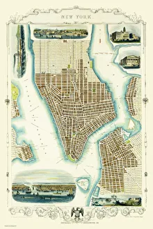
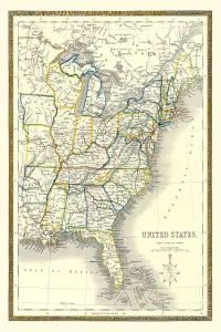
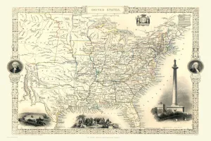
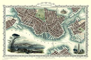
Maps of the United States of America PORTFOLIO Collection
Old Maps Of The United States Of America and Old Town and City Plans of the United States of America
Choose a picture from our Maps of the United States of America PORTFOLIO Collection for your Wall Art and Photo Gifts
5 items