Home > Maps from the British Isles > England and Counties PORTFOLIO
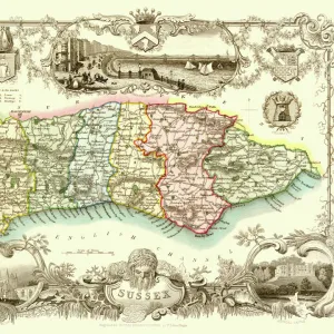
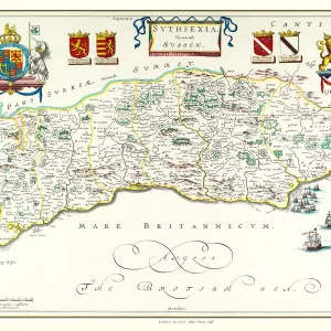
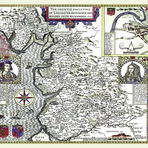
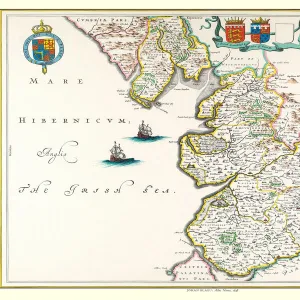
Old County Map of Sussex 1611 by John Speed

![]()
Wall Art and Photo Gifts from MapSeeker
Old County Map of Sussex 1611 by John Speed
A facimile of John Speeds historical map of Sussex originally published for the " Theatre of the Empire of Great Britain", an atlas to accompany " a history of Great Britain"
Media ID 20347759
© Mapseeker Publishing Ltd
County Map County Map Of England English County Map Historic Map John Speed Map Old County Map Old English County Map Speed Map Speede Map
MADE IN THE USA
Safe Shipping with 30 Day Money Back Guarantee
FREE PERSONALISATION*
We are proud to offer a range of customisation features including Personalised Captions, Color Filters and Picture Zoom Tools
SECURE PAYMENTS
We happily accept a wide range of payment options so you can pay for the things you need in the way that is most convenient for you
* Options may vary by product and licensing agreement. Zoomed Pictures can be adjusted in the Cart.