Home > British Town And City Plans > English & Welsh PORTFOLIO
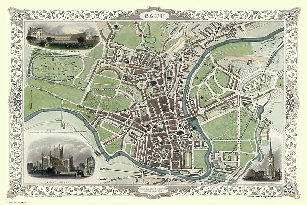
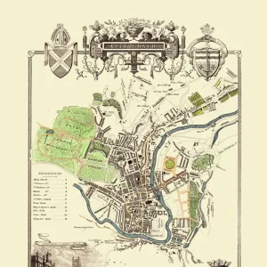
Old Map of Bath 1851 by John Tallis
![]()
Wall Art and Photo Gifts from MapSeeker
Old Map of Bath 1851 by John Tallis
This is a splendid Victorian map by John Tallis 1851 of the historic Spa City of Bath in North East Somerset nestled between a bend on the River Avon. The great Victorian parks and famous gardens surround Bath. The plan displays three splendid illustrations. These illustrations are Royal Crescent, Abbey Church and St Michaels Church
Media ID 20347866
Historic Map John Tallis John Tallis Map Old Town Plan Tallis Map
MADE IN THE USA
Safe Shipping with 30 Day Money Back Guarantee
FREE PERSONALISATION*
We are proud to offer a range of customisation features including Personalised Captions, Color Filters and Picture Zoom Tools
SECURE PAYMENTS
We happily accept a wide range of payment options so you can pay for the things you need in the way that is most convenient for you
* Options may vary by product and licensing agreement. Zoomed Pictures can be adjusted in the Cart.

