Home > British Town And City Plans > English & Welsh PORTFOLIO

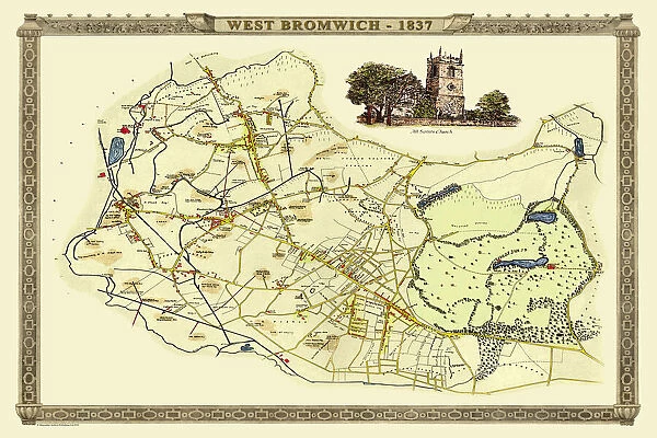
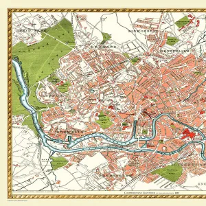
Old Map of West Bromwich in the West Midlands 1837

Old Map of West Bromwich in the West Midlands 1837


Choose Your Product


We accept all major payment options so you can pay for the things you need in the way that is most convenient for you

MapSeeker Photo Prints and Wall Art

Old Map of West Bromwich in the West Midlands 1837

PL021

Media ID 20347122

Historic Map Old Town Plan Town Plan

Your artwork will be printed orientated as per the preview above, with landscape (horizontal) or portrait (vertical) orientation to match the source image


Made in UK
Safe Shipping, Easy Returns

FREE PERSONALISATION
We are proud to offer a range of customisation including Cropping, Captions, and Filters. Zoom Cropping can be adjusted in the basket

SECURE PAYMENTS
We accept all major payment options so you can pay for the things you need in the way that is most convenient for you


redeem
Beautiful Photo Prints and Gifts
image
Professionally printed
inventory
Photo Prints are in stock
thumb_up
Professional Quality Finish
diamond
Made With High Grade Materials
inventory_2
Carefully Packed To Aid Safe Arrival


Similar Pictures


Old Map of Newton near West Bromwich showing Bishop Astburys Cottage 1884
Old Map of Wolverhampton 1750 by Isaac Taylor
Old Map of Dudley 1835
Old Map of the Village of Erdington in the West Midlands 1884
Old Map of the Village of Streetly near Sutton Coldfield 1918
Old Map of Leicester 1903
Old Map of Bristol 1893 from the Comprehensive Gazetteer Atlas of England and Wales
Old County Map of Shropshire 1611 by John Speed
Old Map of Sheffield 1851 by John Tallis
Old Map of the Village of Bloxwich near Walsall 1884
Old County Map of Shropshire 1648 by Johan Blaeu from the Atlas Novus
Old Map of the Village of Little Aston in the West Midlands 1886

+

Shipping

+

Choices

+

Guarantee