Art Prints, Posters and Puzzles

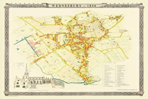
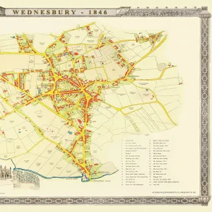
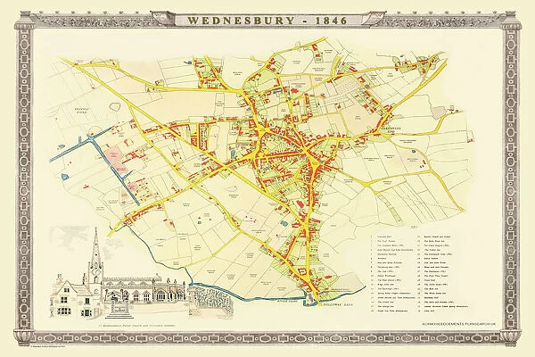
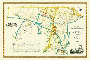
Old Map of Wednesbury Town in the Black Country 1846
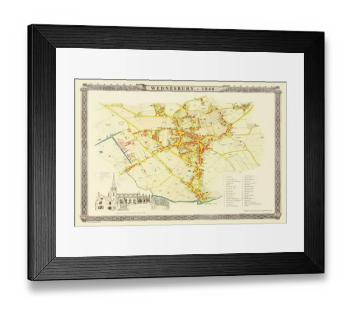
Framed Print : Old Map of Wednesbury Town in the Black Country 1846
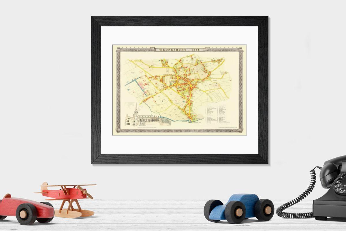
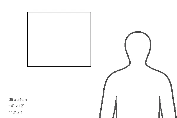
Shown hanging in a room: Modern 14"x12" (36x31cm)
Example of this product: Modern 14"x12" (36x31cm)
Size Guide

Open 3D Preview

Framed Prints

£69.98

This artwork is available as

Prints
Poster Prints
Jigsaw Puzzles
Framed Prints
Canvas Prints
Cards
Home Decor
Mounted Prints
Fine Art Prints
Metal Prints

Framed Print of Old Map of Wednesbury Town in the Black Country 1846
J023. Welcome to the Mapseeker Image library and enter an historic gateway to one of the largest on-line collections of Historic Maps, Nostalgic Views, Vista's and Panorama's from a World gone by.

Your chosen combination is quickly and professionally made to order - Shipping & Delivery Details

If you are not entirely happy with your items, simply return them to us within 30 days for a replacement or full refund - 30 Day Returns

Media ID 20347088


Historic Map Old Town Plan Town Plan

Fast Delivery
Great Value
100% Secure Payment
30 Day Returns

Modern 14"x12" (36x31cm)

Ready to Hang Contemporary Framed Prints adds style, protection, and a polished touch to your space - effortlessly.

Your artwork will be printed as shown in the preview. To adjust please select Print Options under the Buy button

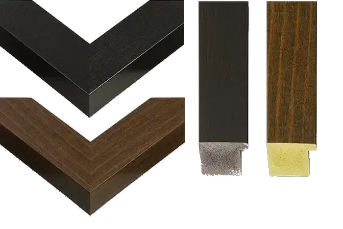
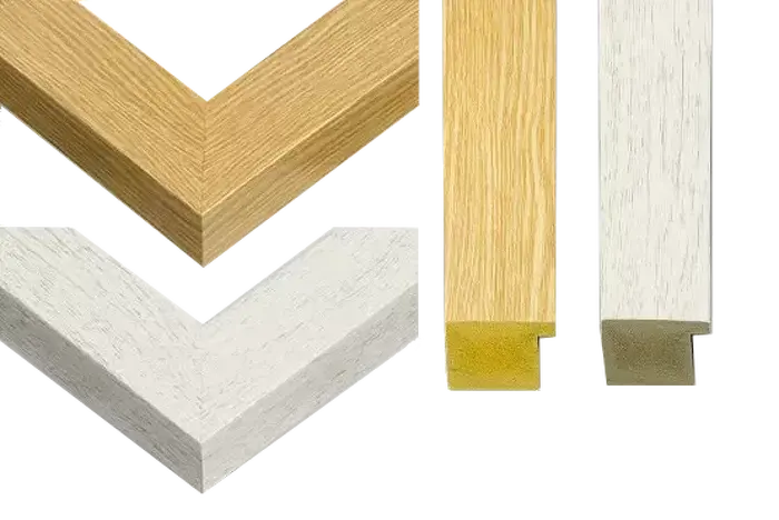
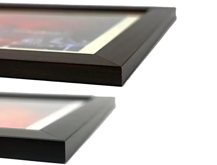
Wood effect frame, card mounted, 10x8 fade resistant photo print. Overall outside dimensions 14x12 inches (36x31cm). Environmentally and ozone friendly, 40mm wide x 15mm Polycore® moulding has the look of real wood, is durable and light and easy to hang. Biodegradable and made with non-chlorinated gases (no toxic fumes) it is efficient; producing 100 tons of polystyrene can save 300 tons of trees! Prints are glazed with lightweight, shatterproof, optical clarity acrylic (providing the same general protection from the environment as glass). The back is stapled hardboard with a sawtooth hanger attached. Note: measurements provided are estimated outer dimensions, which include both the image and the frame. While we aim to keep sizing consistent, exact dimensions may vary slightly due to differences in print size or production requirements, which may result in a variation in the overall size (up to approximately 2.5cm (1"))

These are individually made so all sizes are approximate

Estimated Image Size (if not cropped) is 24.4cm x 16.3cm (9.6" x 6.4")

Estimated Product Size is 36cm x 31cm (14.2" x 12.2")

Features in These Collections

Home > British Town and City Plans > English and Welsh PORTFOLIO
You May Also Like


Gallery Wall Inspiration


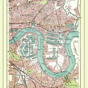
Mapa de Calle Antiguo De La Isla Perros Viejos y Río Támesis en Greenwich 1908.
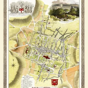
Mapa antiguo de Winchester 1805 por Cole y Roper.
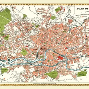
Mapa antiguo de Bristol 1893 del Atlas Comprehensivo de la Gazetteer Inglaterra y Gales.
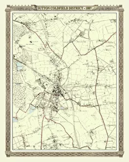
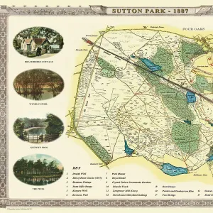
Mapa antiguo de Sutton Park cerca de Sutton Coldfield 1885.
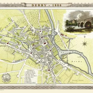
Mapa antiguo de Derby 1806 por Cole y Roper.
Mapa de Calle Antiguo de Bethnal Green y Hackney 1908.
Mapa antiguo de Wolverhampton 1750 por Isaac Taylor.
Mapa antiguo de Stoke on Trent y las cerámicas 1831.
Mapa antiguo del pueblo de Wednesbury en la Black Country 1846.
Mapa antiguo de Manchester y Salford 1898 del Atlas Real por Bartholomew.
Mapa antiguo de Cheltenham 1825 por Griffith.
Mapa antiguo de Dudley 1835.
Mapa antiguo del pueblo de Pelsall cerca de Walsall 1884.
Mapa antiguo de la ciudad de Cambridge 1836 por Thomas Moule.
Mapa antiguo de Harrogate 1898 del Atlas Real por Bartholomew.
Mapa antiguo de Plymouth, Devonport y Stonehouse 1851 por John Tallis.
Mapa antiguo del pueblo de Walsall Wood en Staffordshire 1884.
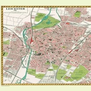
Mapa Antiguo de Leicester 1903.
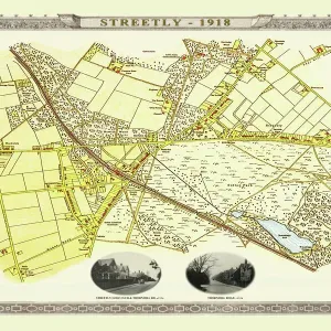
Mapa antiguo del pueblo de Streetly cerca de Sutton Coldfield 1918.
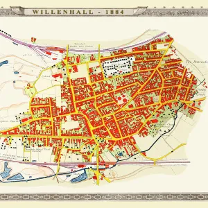
Mapa Antiguo del Pueblo de Willenhall en los Midlands Occidentales 1884.
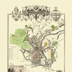
Mapa antiguo de la ciudad de Bath 1836 por Thomas Moule.
Mapa antiguo de Hereford 1806 por Cole y Roper.
Mapa antiguo de Oxford 1808 por Cole y Roper.
Mapa antiguo de Worcester 1808 por Cole y Roper.
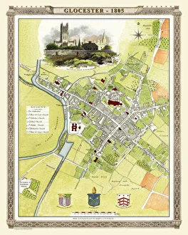
Mapa Antiguo de Gloucester 1805 por Cole y Roper.
Mapa antiguo de Exeter 1805 por Cole y Roper.
Mapa antiguo de Northampton 1807 por Cole y Roper.


© Copyright MapSeeker - All Rights Reserved 2026
Orders fulfilled by Media Storehouse®
We accept all major payment options so you can pay for the things you need in the way that is most convenient for you