Framed Print > British Town And City Plans > English & Welsh PORTFOLIO

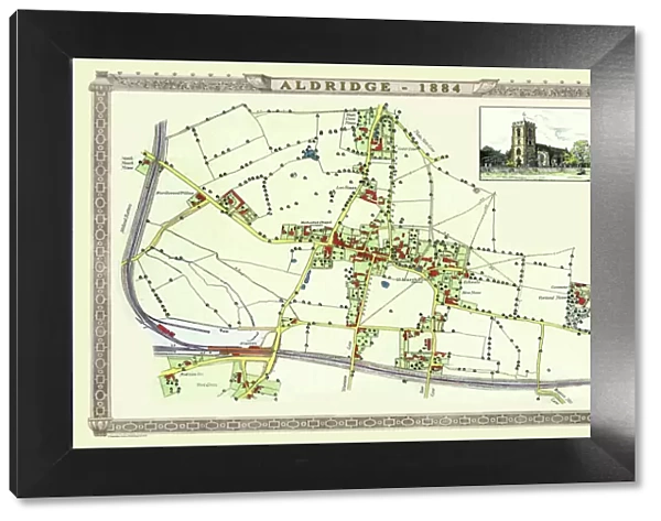
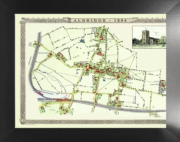
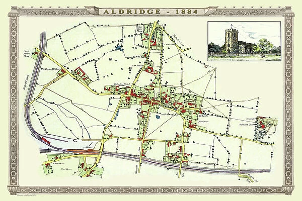
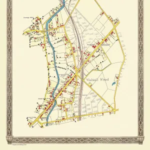
Framed Print : Old Map of the Village of Aldridge in Staffordshire1884

Old Map of the Village of Aldridge in Staffordshire1884


-
+
$119.99

We accept all major payment options so you can pay for the things you need in the way that is most convenient for you


Choose Your Product


Framed Photos From MapSeeker

Old Map of the Village of Aldridge in Staffordshire1884

PL001

Media ID 20346927

Historic Map Old Town Plan Town Plan


Modern Frame 18"x14"

16x12 Print in an MDF Wooden Frame with 180 gsm Satin Finish Paper. Glazed using shatter proof thin plexiglass. Frame thickness is 1 inch and depth 0.75 inch. Fluted cardboard backing held with clips. Supplied ready to hang with sawtooth hanger and rubber bumpers. Spot clean with a damp cloth. Packaged foam wrapped in a card.

Ready to Hang Contemporary Framed and Mounted Prints. To ensure the paper is held securely the visible picture may be marginally smaller than quoted.

Estimated Image Size (if not cropped) is 39.6cm x 29.4cm (15.6" x 11.6")

Estimated Product Size is 45.7cm x 35.6cm (18" x 14")

These are individually made so all sizes are approximate/p>

Your artwork will be printed orientated as per the preview above, with landscape (horizontal) or portrait (vertical) orientation to match the source image


Made in USA
Safe Shipping, Easy Returns

FREE PERSONALISATION
We are proud to offer a range of customisation including Cropping, Captions, and Filters. Zoom Cropping can be adjusted in the basket

SECURE PAYMENTS
We accept all major payment options so you can pay for the things you need in the way that is most convenient for you


public
Made in USA
thumb_up
Professional Quality Finish
diamond
Made With High Grade Materials
inventory_2
Carefully Packed To Aid Safe Arrival


Similar Pictures


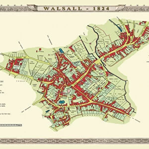
Old Map of Walsall 1824 by Mason
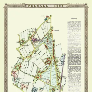
Old Map of the Village of Pelsall near Walsall 1884
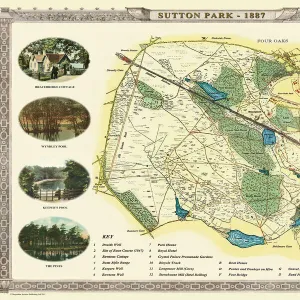
Old Map of Sutton Park near Sutton Coldfield 1885
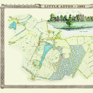
Old Map of the Village of Little Aston in the West Midlands 1886
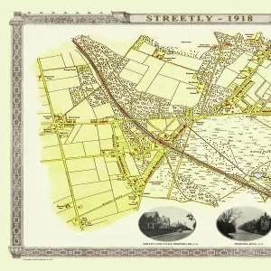
Old Map of the Village of Streetly near Sutton Coldfield 1918
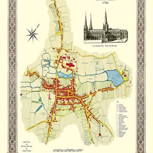
Old Map of Lichfield with inset view of Lichfield Cathedral surveyed in 1781
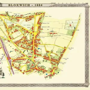
Old Map of the Village of Bloxwich near Walsall 1884
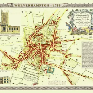
Old Map of Wolverhampton 1750 by Isaac Taylor
Pictorial History Railway Map of Britain
Old Map of Manchester 1807 by Cole and Roper
Old map of the Village of Shelfield near Walsall 1886
View of Yarmouth, with Nelsons Monument 1840

+

Shipping

+

Choices

+

Guarantee