Jigsaw Puzzle > British Town And City Plans > English & Welsh PORTFOLIO
Jigsaw Puzzle : Old Map of Sheffield 1851 by John Tallis


![]()
Jigsaw Puzzles from MapSeeker
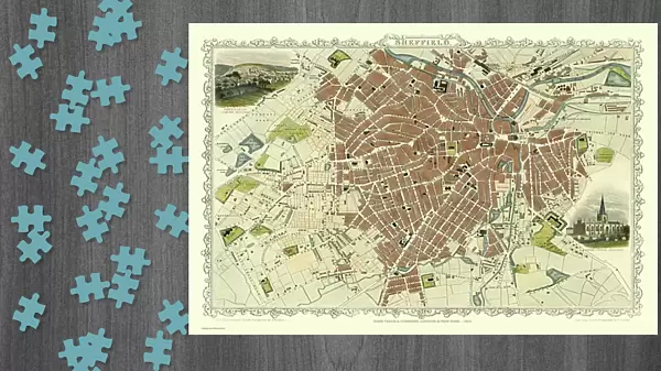
Old Map of Sheffield 1851 by John Tallis
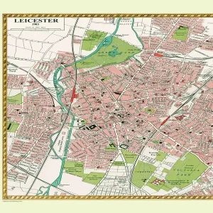
A fine 1851 map by John Tallis of Victorian, industrial Sheffield in South Yorkshire that shows the steady growth of industry and housing to the left of the plan. There are two illustrations, of Sheffield from the south east and one of the Parish Church Sheffield
Media ID 20347616
Historic Map John Tallis John Tallis Map Old Town Plan Tallis Map
Jigsaw Puzzle (1014 Pieces)
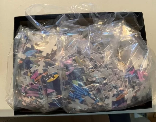
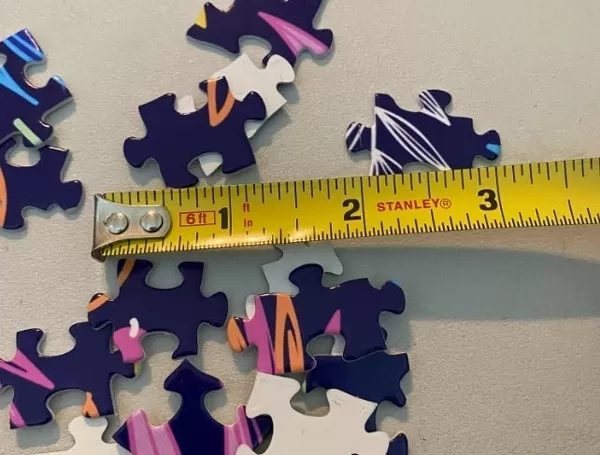
Made in the USA, 1014-piece puzzles measure 20" x 30" (50.8 x 76.2 cm). Every puzzle is meticulously printed on glossy photo paper, which has a strong 1.33 mm thickness. Delivered in a black storage cardboard box, these puzzles are both stylish and practical. (Note: puzzles contain small parts and are not suitable for children under 3 years of age.)
Jigsaw Puzzles are an ideal gift for any occasion
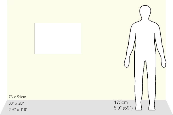
Estimated Product Size is 76cm x 50.8cm (29.9" x 20")
These are individually made so all sizes are approximate
Artwork printed orientated as per the preview above, with landscape (horizontal) orientation to match the source image.
MADE IN THE USA
Safe Shipping with 30 Day Money Back Guarantee
FREE PERSONALISATION*
We are proud to offer a range of customisation features including Personalised Captions, Color Filters and Picture Zoom Tools
SECURE PAYMENTS
We happily accept a wide range of payment options so you can pay for the things you need in the way that is most convenient for you
* Options may vary by product and licensing agreement. Zoomed Pictures can be adjusted in the Cart.