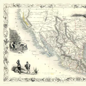
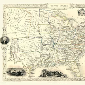
Home > Maps of the Americas > Maps of the United States of America
Old Map of New York United States of America 1851 by John Tallis

![]()
Wall Art and Photo Gifts from MapSeeker
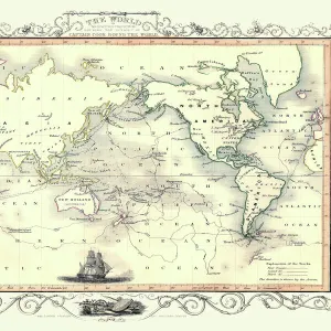
Old Map of New York United States of America 1851 by John Tallis
This is a most attractive yet detailed plan 1851 by John Tallis of New York and districts of Jersey, Panovia, Hoboken, Brooklyn and Williamsburgh in the U.S.A. The numerous, identified ferries are flourishing with increasing traffic across the Hudson and East River, the great bridges have not yet arrived. Many individual docking ports and Packets are named. The plan of New York has been beautifully finished with six illustrations. To the top of the plan a view towards Brooklyn with sailing boats and steamers. To the top right City Hall and the Custom House. At the bottom a panoramic view across to New York from Williamsburg and a view of the Narrows from Fort Hamilton. There is New York Steamer to the top left
Media ID 20347586
Historic Map John Tallis John Tallis Map Old Town Plan Tallis Map
MADE IN THE UK
Safe Shipping with 30 Day Money Back Guarantee
FREE PERSONALISATION*
We are proud to offer a range of customisation features including Personalised Captions, Color Filters and Picture Zoom Tools
SECURE PAYMENTS
We happily accept a wide range of payment options so you can pay for the things you need in the way that is most convenient for you
* Options may vary by product and licensing agreement. Zoomed Pictures can be adjusted in the Basket.