Home > Old Views and Vistas > 19th & 18th Century English Views

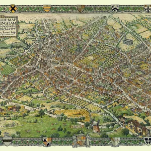
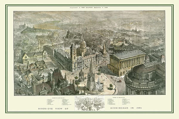
Birds Eye View of Birmingham In 1886

Birds Eye View of Birmingham In 1886


We accept all major credit cards

MapSeeker Photo Prints and Wall Art

Birds Eye View of Birmingham In 1886

This is a striking panoramic view originally published as a supplement to The Graphic, September 4, 1886. There is an accompanying key block that can be used to identify 35 areas including streets, railway stations, and buildings

Media ID 20347511

Birmingham Birmingham Map


FEATURES IN THESE COLLECTIONS

> British Town And City Plans > English & Welsh PORTFOLIO

> Old Views and Vistas > 19th & 18th Century English Views


MADE IN THE UK
Safe Shipping with 30 Day Money Back Guarantee

FREE PERSONALISATION*
We are proud to offer a range of customisation features including Personalised Captions, Color Filters and Picture Zoom Tools

SECURE PAYMENTS
We happily accept a wide range of payment options so you can pay for the things you need in the way that is most convenient for you

* Options may vary by product and licensing agreement. Zoomed Pictures can be adjusted in the Basket.

redeem
Beautiful Photo Prints and Gifts
image
Professionally Printed
inventory
Photo Prints are in stock
thumb_up
Professional quality finish
diamond
Made with high-grade materials
inventory_2
Carefully packed to aid safe arrival


Related Images


A Conjectural Picture Map of Birmingham In 1730
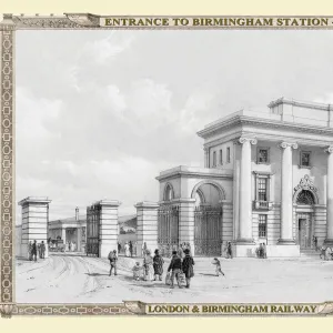
Views on the London to Birmingham Railway - Entrance to Birmingham Station 1839
View down New Street in Birmingham 1829
Old Map of Sutton Park near Sutton Coldfield 1885
Peaky Blinders Captured on Camera
Bull Ring and St Martins Church, Birmingham 1840
Old Map of Bath 1851 by John Tallis
Old Map of Wolverhampton 1750 by Isaac Taylor
View on Bull Street Birmingham, corner of Crooked Lane 1830
Old Street Map of The Isle of Dogs and River Thames at Greenwich 1908
The North Prospect of St Philips Church, Birmingham from 1720
Old Houses at the bottom of Pinfold Street and Navigation Street, Birmingham 1830

+

Shipping

+

Choices

+

Guarantee